Puffin TS1
A 4WD survey platform carrying LiDAR, RTK positioning, and edge AI into terrain that is slow, costly, or unsafe to inspect by hand.
TS1 exists to answer one question: what is actually out there, and can you get across it?
Four systems, one platform
LiDAR Mapping
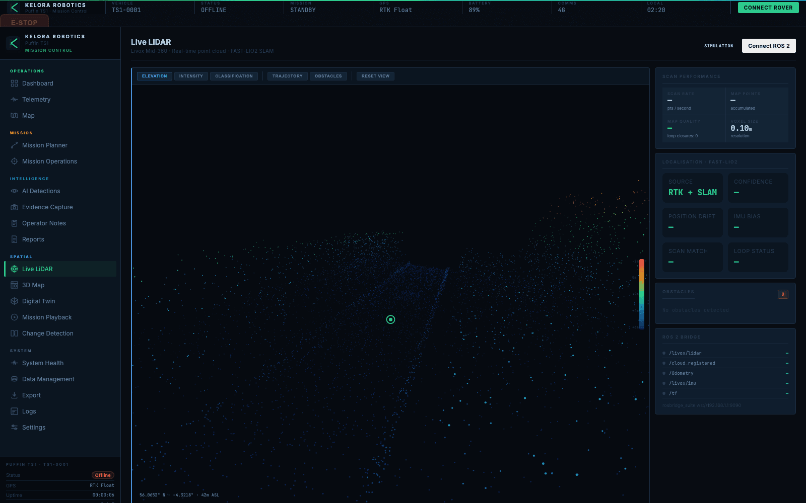
Livox Mid-360 solid-state LiDAR captures dense 3D point clouds of terrain geometry in real time.
RTK Positioning
Centimetre-accurate GNSS positioning with RTK correction for survey-grade ground truth.
Edge AI
NVIDIA Jetson Orin Nano Super runs onboard perception, classification, and hazard detection at the edge.
4WD Drive
Independent 4-wheel drive on all-terrain tyres for reliable mobility across rough, unstructured ground.
Every subsystem, field-serviceable
Every component, inspectable
Switch drawing views, then select any subsystem to see what it does and the numbers behind it.
Jetson Orin Nano Super
- 67 TOPS AI inference
- 8GB memory
- ROS 2 Humble
The onboard brain. Runs perception, SLAM, and terrain classification locally, with no cloud dependency in the field.
Every metre driven becomes a model
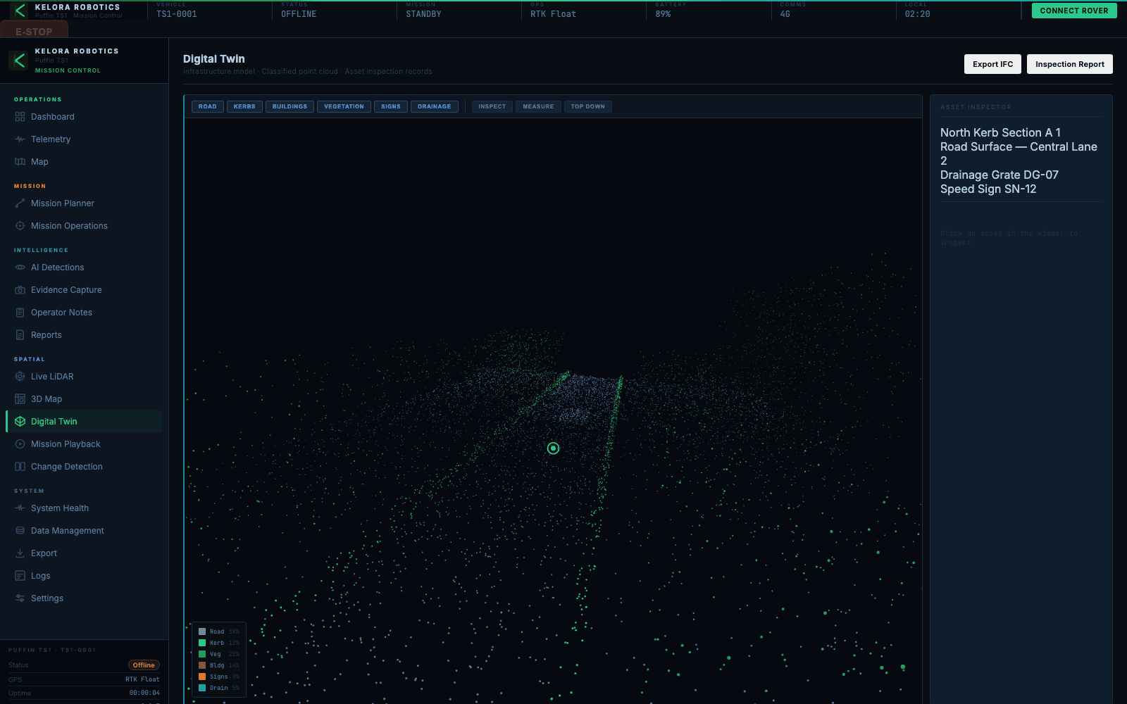
As TS1 moves, the fused sensor stream is classified into surface type, roughness, and traversability, then reconstructed into a georeferenced digital twin. The output is not footage. It is a terrain model an engineer can measure, compare, and plan against.
How the pipeline worksGround Truth
First light from the Campsie Fells.
Technical specifications
| Platform | 4WD skid-steer, all-terrain |
| Dimensions | ~800 x 600 x 450 mm |
| Weight | ~35 kg (estimated) |
| Battery | 24V 100Ah LiFePO4 |
| Runtime | 6-8 hours (estimated) |
| Compute | NVIDIA Jetson Orin Nano Super |
| LiDAR | Livox Mid-360 |
| GNSS | Multi-band RTK with corrections |
| IMU | 9-axis |
| Cameras | Stereo pair + rear monitor |
| Motor control | Sabertooth 2x32A (x2) |
| Connectivity | Wi-Fi 6 + 4G LTE |
| Software | ROS 2 Humble, custom autonomy stack |
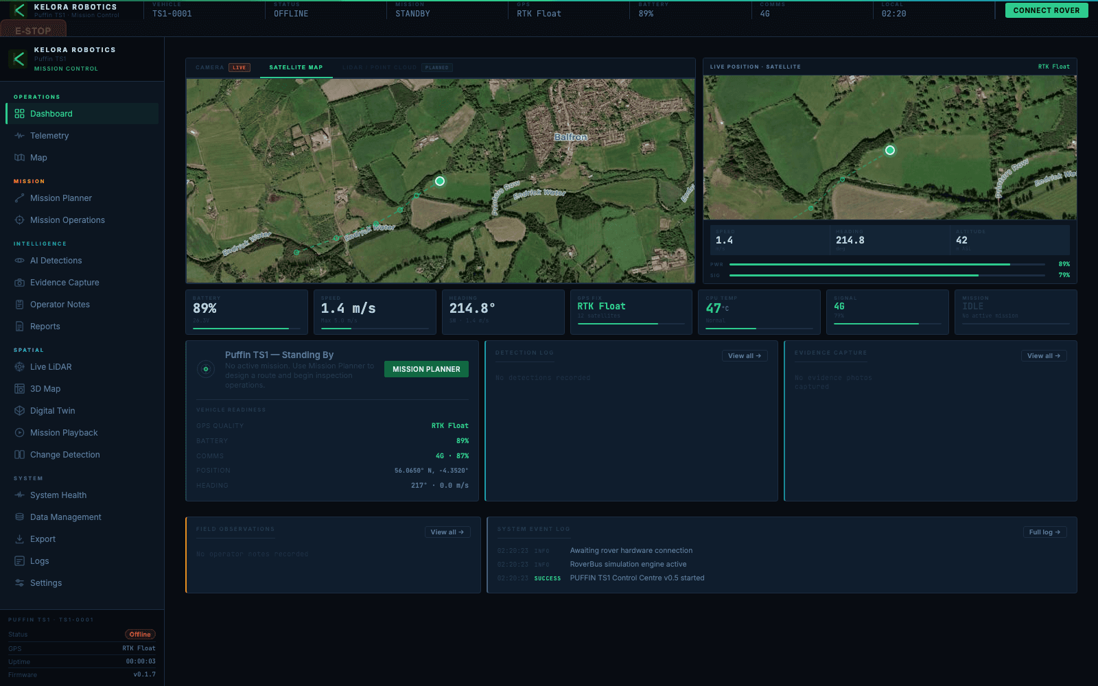
The software, running